Shades of Green: County Atlases in Ohio Memory


Approximately ten years ago, in a combined effort between the State Library of Ohio and the Ohio Department of Transportation, a number of county atlases in the library’s collection were digitized. The Department of Transportation was primarily interested in comparing older atlases to new ones, and they sent one of their interns to the library to complete the digitization project. The library, meanwhile, was able to offer online access to these rich historical resources and was thrilled with the partnership.
Regular readers of the Ohio Memory blog may recall past posts in the “Shades of Green” series, but if you’re new to Ohio Memory or don’t remember, unique materials with genealogical information are referred to as providing shades of green to our family trees. They add color and depth to our genealogical charts, while materials such as census records, the Social Security Death Index, and vital records provide basic structure, much as a trunk does for a tree. It is materials like these atlases, or interesting annual reports, or 19th-century land office records that color the leaves of our trees in shades of green.

The atlases in this collection represent thirty-one counties. The library’s print collection holds atlases for all eighty-eight Ohio counties but copyright restrictions prohibit us from offering online access to many of them. In most cases, the atlases were first published long enough ago that their copyright has expired, but organizations have since taken these earlier works and re-printed them with value-added information – such as indexes – changing the copyright date and holder. The atlases that are not offered in Ohio Memory can be found in the print collections of the State Library of Ohio and the Ohio History Center, and often at your local public library or historical society.
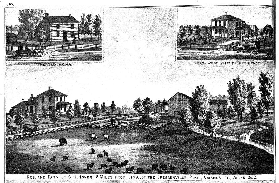
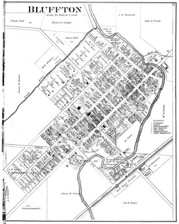
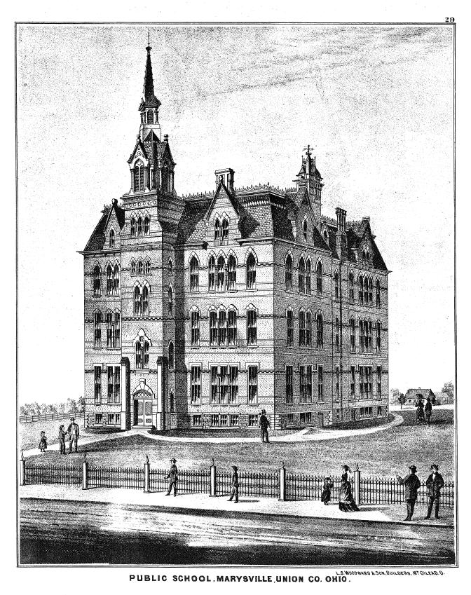
These atlases are more than just collected maps. They contain local histories, family histories, portraits and illustrations, and other information of interest to researchers of all types. Plat maps are also included in the atlases, so you can locate the parcel of land on which your ancestor lived or, in some cases, follow property line changes or ownership changes over time. The local histories often feature illustrations of houses, as well, so if your home is at least 100 years old, you might find sketches of it in your county atlas, adding shades of green to your house’s family tree, as well.
Thank you to Shannon Kupfer, Digital Initiatives Librarian at theState Library of Ohio, for this week’s post!


Leave a Reply
You must be logged in to post a comment.